Low 80s this week, then rain moves in for the weekend | October 26, 2026
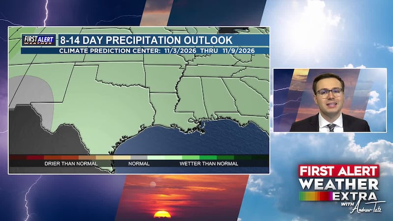
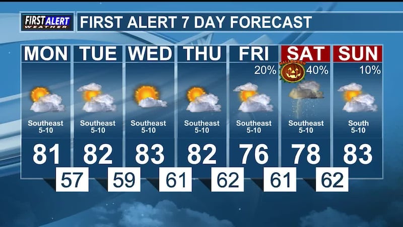
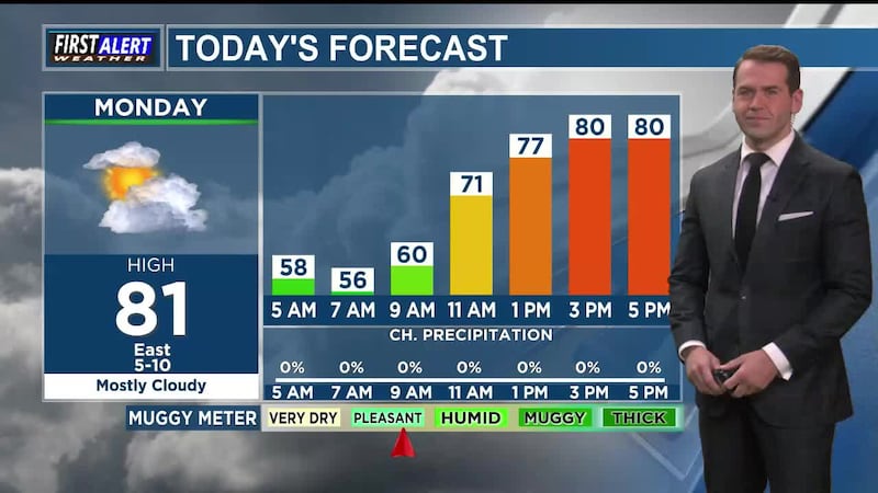
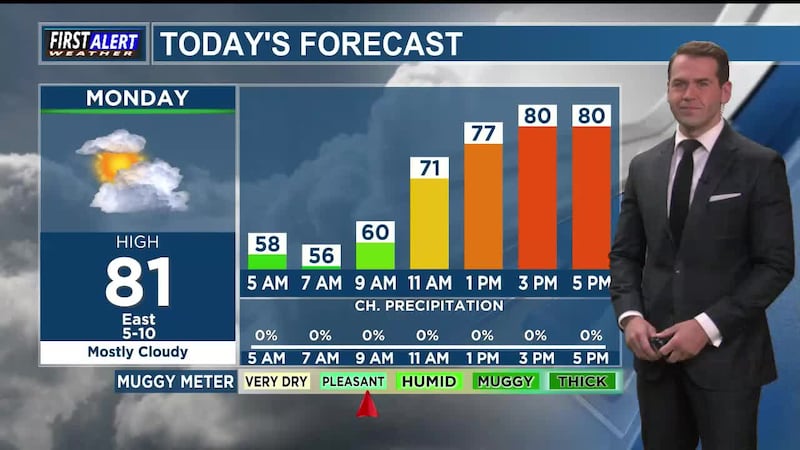
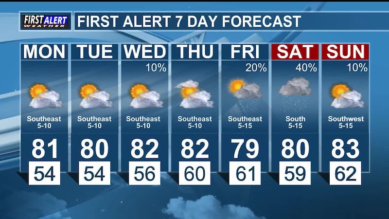
EAST TEXAS (KLTV/KTRE) - Mostly cloudy skies are expected Tuesday, along with a low chance for rain through most of the day. Temperatures will remain warm for late October, in the low 80s, through Thursday. Showers and thunderstorms return to the forecast Friday through early next week, including the highest chance for rain on Saturday (Halloween). Severe weather is currently not in the forecast; however, thunderstorms alone could create hazards trick-or-treating conditions Saturday night. Stay tuned for updates and the timing and finer details are refined.
Today in weather history, or in today’s case, yesterday... October 25, 1975, eight days after being launched by NASA, GOES-1 sent back its first image of Earth. GOES-1 was the first in NOAA’s line of weather observation satellites that are still in use today. Today’s daily weather history segment comes to us courtesy of the Southeast Regional Climate Center.
Also on today’s edition of First Alert Weather Extra... we’ll get an update on flooding and severe weather in the western U.S., as well as how the King Tides are affecting Florida. In closing, our satellite imagery of the day, showing the waxing gibbous moon peek out from beyond Earth, courtesy of the Cooperative Institute for Research in the Atmosphere.
Copyright 2026 KLTV/KTRE. All rights reserved.